

















Meet the Grand Prize Winner, Gabriele Romagnoli
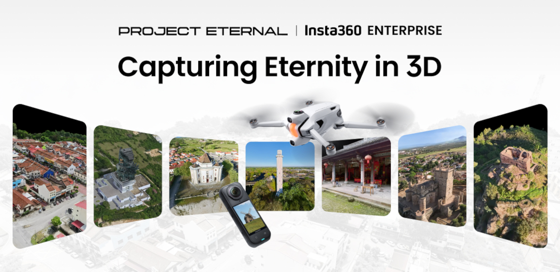
Gabriele Romagnoli is not your typical drone pilot. He is a 3D, XR, and AI expert, the kind of creator who pushes the boundaries of what's possible at the intersection of capture technology and spatial computing. With the launch of Project Eternal (#Turn360to3D), a global initiative by Antigravity and Insta360 to preserve world heritage sites through 360 capture and 3D Gaussian Splatting, Gabriele saw an opportunity that went beyond competition.
What stuck with him most was seeing Civita di Bagnoregio, a medieval village near his hometown of Rome, in the event trailer. "Looking at the village nestled on this rocky peak was absolutely majestic," he recalls. "I thought, 'I wish there was a similar place here in the Netherlands'." After some research, he found a worthy location, Kasteel de Haar (Castle De Haar), one of the largest and most breathtaking castles in the Netherlands.
A Masterpiece Captured in 6 Minutes and 30 Seconds
Castle De Haar is a sprawling historical destination with well-manicured gardens, intricate brickwork, and surrounding structures that tie the entire estate together. Reconstructing such a site in 3D would normally require meticulous planning with traditional cameras. Hours of calculating gimbal angles, worrying about coverage gaps, and managing inconsistent lighting across multiple passes.
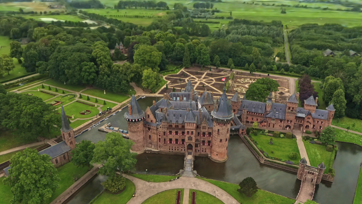
Gabriele did it in just 6 minutes and 30 seconds of flight time.
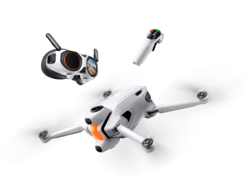
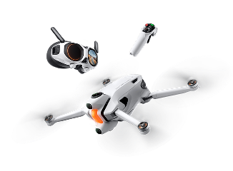
Using the Antigravity A1, he executed three slow orbits around the castle at different heights, including a wider orbit to capture the surrounding structures. "Capturing the castle with the Antigravity A1 was the easiest part of the whole workflow," he says. "Given that the Antigravity A1 captures all angles simultaneously, I didn't have to worry about much else."
*Flight and filming were approved by the relevant authorities and the castle operator
The real challenge, and where Gabriele's expertise truly shone, was the reconstruction pipeline. He tested 10 different reconstruction pipelines (documented in a detailed comparison video) before settling on PostShot. His winning pipeline:
- Convert the 360 INSV file to MP4 using Antigravity Studio
- Extract 1 frame per second from the footage
- Convert each equirectangular frame into a cubemap (using a custom-built converter)
- Remove the top portion of each cubemap (sky-only area)
- Feed all resulting images (1,955 in total) into PostShot for training
From capture to exploring the final 3DGS model, the entire process took less than 24 hours.
What We Can Learn from Gabriele's Experience
Why A1 Is the Ultimate 3DGS Capture Tool
Gabriele's success wasn't luck. It was a direct result of choosing the right capture tool. Here's why the A1 is uniquely suited for 3D Gaussian Splatting:
Omnidirectional coverage in a single pass. Traditional 3D capture relies on single-lens cameras shooting from specific angles, which inevitably creates view blind spots. With A1's 8K 360 imaging, a single flight effectively captures hundreds of angles simultaneously. As Gabriele puts it: "You don't need to worry where the gimbal is pointing, just fly, and you'll get everything you need."
8K ultra-high resolution with HDR. A1 outputs 8K HDR 360 footage, providing Gaussian splats with extremely dense color and material information. This means reconstructed models achieve "photo-grade" fidelity. Light plays across surfaces naturally, metals reflect realistically, and vegetation textures hold up under close inspection. A far cry from "plastic" looking 3D models.
Sky Genie intelligent flight modes. 3DGS modeling demands high overlap rates in flight paths. A1's built-in spiral ascent and orbit modes are purpose-built for this. They automatically maintain consistent overlap and distance from the subject, eliminating the guesswork from manual flight.
Regulation-friendly sub-250g weight. The A1 weighs under 250 grams, granting regulatory flexibility in many countries, enabling not just creative freedom in the Gaussian splatting process but also fewer restrictions on locations that can be preserved.
Native GPX data export. The A1 exports precise GPS trajectory data with timestamps and spatial coordinates, which helps algorithms quickly determine camera positions, dramatically accelerating the initial sparse point cloud generation.
How 360 to 3D Actually Works
The magic of 360-to-3DGS conversion lies in the overlap between omnidirectional capture and the multi-view consistency algorithm at the heart of Gaussian Splatting.
Unlike traditional photogrammetry, which requires a single-lens camera to shoot from hundreds of carefully planned positions, a 360 camera captures the entire sphere in a single shutter. This means every frame provides complete coverage of the scene. The 3DGS algorithm then uses the subtle differences between frames (parallax, lighting changes, motion) to place millions of Gaussian "splats" in 3D space, each with attributes like position, rotation, scale, opacity, and color.
The key advantage: one 360 frame can replace dozens of traditional single-frame shots. The 360 approach's "all-angle consistency" naturally matches 3DGS's optimal input conditions. Because a single exposure covers all directions, it avoids the pose estimation errors that plague traditional multi-shot captures due to lighting changes and shadow drift.
What Other Creators Are Building with A1
Gabriele is part of a growing movement. The Project Eternal campaign has already seen extraordinary 3DGS reconstructions from people worldwide:
- Pompeii & Civita di Bagnoregio (Italy) — Ancient ruins digitally preserved in immersive 3D
- Chengyang Bazhai Wind & Rain Bridge (China) — Intricate Dong minority architecture reconstructed down to the timber joints, using A1 and X5
- Huashan Mountain (China) — Daring cliffside paths and peaks captured from angles impossible with ground-based cameras
- Kurotani Konkaikomyoji Temple (Japan) — A historic Buddhist temple in Kyoto, with intricate woodwork of the Sanmon Gate captured on A1
- Borobudur Temple (Indonesia) — The world's largest Buddhist temple, modeled with A1 aerial sweeps and X5 ground detail
360 to 3D vs. LiDAR: Which One Do You Need?
This is one of the most common questions in the 3DGS community, and the answer depends on what you're building.
| 360 + 3DGS | LiDAR | |
| Visual fidelity | Photo-grade — captures reflections, transparency, fine vegetation | "Hard" mesh — struggles with transparent/reflective surfaces |
| Real-time rendering | 100+ FPS on mobile/VR devices | Low, often requires specialized hardware |
| Cost & accessibility | A1/X5 + cloud platform — hours from capture to model | High-end equipment, complex operation |
| Precision | Visual-level (not engineering-grade) | Sub-centimeter engineering accuracy |
| Best for | Immersive experiences, digital twins for visualization, cultural heritage preservation | Surveying, construction, industrial metrology |
As Gabriele's work demonstrates, 3DGS excels at "photographic restoration" that doesn't need to measure every brick to millimeter precision, but is still immersive enough to make you feel like you're standing in the courtyard.
How to Create a 3DGS Model
Quick Start Guide: 5 Minutes to Your First 3DGS Model
If you're just getting started, follow these steps to build a 3DGS model fast:
- Fly the A1 around your subject for 3–5 minutes. Use 8K 30fps video mode in Cinematic or FreeMotion mode. Fly in overlapping orbits and "S" / "bow" shaped paths.
- Export the INSV file from the A1's internal storage.
- Upload directly to Splatica (or Aholo, or Niantic Spatial). These platforms now support Insta360 and Antigravity 360 formats.
- Wait a few hours. The platform handles everything: frame extraction, alignment, point cloud generation, and Gaussian splat optimization.
- Share your model. Export as an immersive link, embed in social media, or download for further editing.
That's it. No complex software, no GPU required, no PhD in computer graphics.
Pro Tips: A Playbook for Studio-Quality Results
For those who want to push further, here are the most impactful techniques drawn from the A1+X5 3DGS Shooting Guide, Gabriele's own workflow, and contributions from our professional partners and the wider 3DGS creator community:
1. Master "cubemap conversion".
Gabriele converted equirectangular frames into cubemaps before feeding them into PostShot. This reduces distortion at the poles and gives the reconstruction algorithm more geometrically consistent input. Build a simple converter script, remove the sky-only top portion of each cubemap, and watch your quality jump.
2. Extract 1 frame per second — no more, no less.
More frames don't always mean better results. 1 fps from 8K 30fps footage gives you ample overlap while keeping the dataset manageable. Gabriele used around 2,000 images from a 6.5-minute flight, which is a solid sweet spot for quality without drowning in data.
3. Flight path matters more than you think.
- For outdoor flat areas: Use "bow" and "S" shaped paths at an altitude of 3–5 m, and a speed of <3 m/s.
- For building facades: Capture the facade from a 3 m distance at a speed of <3 m/s. Execute overlapping back-and-forth passes at 3 m height increments.
- For complex structures: Shoot at multiple heights with 70–80% overlap between adjacent passes.
- Always close the loop: End your flight near where you started to ensure the data forms a closed circuit. This dramatically improves reconstruction quality.
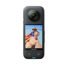
4. Combine A1 + X5 capture for complex scenes.
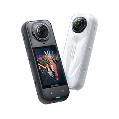
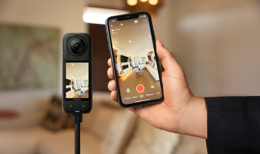
Some scenes benefit from both aerial and ground-level perspectives. Use the A1 for the sky view and an Insta360 X5 on a 3-meter selfie stick for ground-level detail. The key is ensuring the two datasets have overlapping capture areas. The simplest way is to have the A1 fly directly over the X5's walking path. This guarantees the two datasets can be stitched together in post-processing.
5. Mind your environment.
- Shoot on overcast days or in soft light to avoid harsh shadows
- Avoid strong LED light sources and rapid lighting changes
- Keep the lens clean (a quick wipe before takeoff)
- In low light, move slower (<1 m/s for ground capture, <3 m/s for A1)
- Minimize moving objects (people, animals, flags) as they create "ghost" artifacts in the reconstruction
What Project Eternal Has Achieved — and the Ecosystem It's Built
Project Eternal is more than a competition. It's a global movement to digitize the world's most precious heritage sites, making them accessible to anyone with an internet connection.
Visit SuperSplat to view more digital creations from Project Eternal.
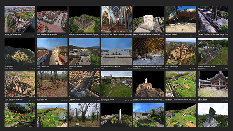
3DGS Processing Platforms
One of the most exciting developments is the growing ecosystem of platforms that natively support INSV files or stitched mp4 from Insta360 and Antigravity devices. You no longer need complex local setups to go from capture to 3D model:
| Platform | Type | Best for |
| Splatica | One-click cloud platform | Instant results, no GPU needed |
| Aholo (Manycore Tech) | Spatial intelligence platform | High-quality automated processing |
| MipMap | Professional desktop software | Local processing, full control |
| Niantic Spatial Scaniverse | Geospatial AI platform | Large-scale outdoor scenes |
| FreeGaussian (OVER the Reality) | Spatial computing platform | Creative and interactive applications |
The Bottom Line
Gabriele Romagnoli's winning the #Turn360to3D challenge is more than just a showcase of his technical skill; it's a blueprint for the future of 3D capture. From a single 6.5-minute flight, he turned a 13th-century Dutch castle into a photorealistic, navigable 3D experience that anyone in the world can explore. All in under 24 hours.
His message to the 3DGS community is simple: "Reconstructing 3DGS from 360 footage has become extremely simple due to various platforms like Splatica, which offer a one-click solution for reconstruction directly from Insta360 and Antigravity A1 footage."
The tools are ready. The workflows are proven. The only question is: what will you capture?
Ready to start your own 3DGS journey? Find more resources at Project Eternal.
Keen to keep up to date on Insta360 stories? Keep an eye on our blog and sign up for our mailing list. You can also contact our Enterprise team directly to see how 360 cameras can benefit your business.




%20(1).svg)


%20(1).svg)

.svg)