



















When a forward-thinking clothing brand challenged its customers to "make their logo fly somewhere cool," most people might have attached a patch to a drone or taken a scenic hike. But Shawn Avery decided to aim a little higher—specifically, 82,000 feet into the stratosphere.
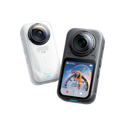
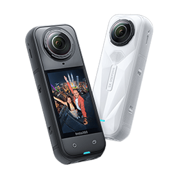
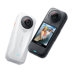
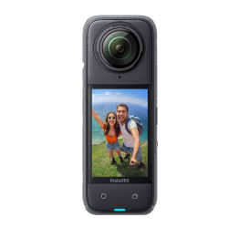
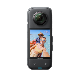
Inspired by the brand's space-age apparel and distinct V-shaped logo, Shawn spent three months brainstorming an ambitious near-space mission. The goal? To build a payload capable of flying higher than almost anything else on a consumer budget, utilizing an Insta360 X5 to document the entire journey.
Engineering a Near-Space Rig
Preparing for a launch to the edge of space required serious logistical planning. Shawn researched high-altitude weather balloon systems and ordered a High-Altitude Balloon (HAB) kit from Rocketman Parachutes.
The payload was designed with a basic delta shape to securely mount three essential items, one at each corner:
- An Insta360 X5 to capture the entire flight in immersive detail.
- A Spot GPS unit for tracking location and altitude.
- A PocketLab data recorder to log scientific metrics throughout the flight.
To top it all off, the brand's signature "V" logo was mounted prominently on the rig. Before launch day, Shawn utilized flight prediction tools to chart the projected trajectory across the New Mexico desert, mapping out the ideal launch spot and anticipated landing zone.
Launch and Ascent
On launch day, Shawn and a friend traveled to a launch site south of Albuquerque, New Mexico. After assembling the payload and carefully filling the high-altitude helium balloon, they released it into the sky.
The Spot GPS tracked the ascent in real-time until the payload climbed so high it exceeded satellite communication range. As the balloon pushed upward, it crossed through extreme atmospheric layers where temperatures plummeted to a brutal -40°C.
Despite the punishing cold and thin air, the Insta360 X5 kept rolling. The camera captured the breathtaking curvature of the Earth as the payload reached its peak altitude of approximately 82,000 feet—spanning a 96-mile journey across the desert.
At the apex, the massive helium balloon naturally expanded and popped, deploying an integrated parachute to stabilize the descent back toward terra firma.
The Recovery
Once the payload dropped back into communication range, Shawn tracked its landing coordinates east of Albuquerque. Arriving at the drop site, they deployed a drone to scan the area, successfully locating and recovering the entire payload intact.
When the files were pulled from the X5, the camera had not only survived the extreme thermal and physical stress of the stratosphere, but it had preserved a pristine, unvarnished visual record of the entire near-space flight.
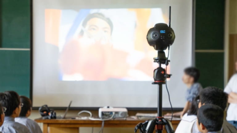
The footage later found a second life in the classroom, where Shawn shared a special edit with his daughter's school for Science Day—proving that with a little engineering, curiosity, and rugged gear, the edge of space is closer than you think.
Keen to keep up to date on Insta360 stories? Keep an eye on our blog and sign up for our mailing list. Got a story to share? Email yours to communitystories@insta360.com and win up to US$50.