


























Street View cars map highways. Gareth’s and Insta360 have mapped rivers, mountain lakes, tricky trails and, when it mattered most, hurricane-hit towns to aid recovery.
Pontoon Boats and Beginnings
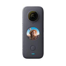
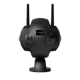
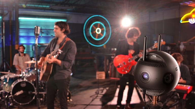
It all started in 2020, floating down the Charles River in Boston. Instead of a Street View car, there was a pontoon boat. Instead of the classic globe camera, an Insta360 Pro 2 was strapped to the deck. The goal? To see if 360 capture could work on water.
And to everyone’s surprise, it did. The river was calm, the footage was smooth, and Google Street View gave it the stamp of approval. For the first time, “road mapping” didn’t involve a road at all.
Where it all began: a pontoon boat, an Insta360 Pro 2, and the idea that Street View doesn’t have to stick to roads.
Jet Skis and New Challenges
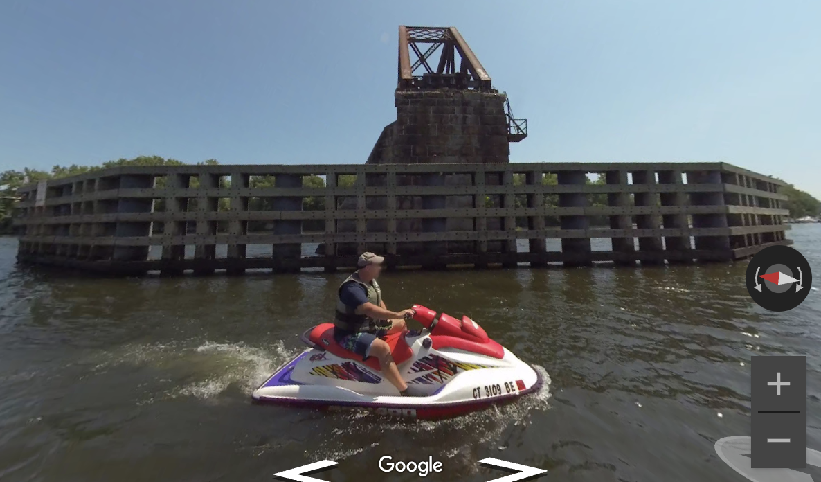
Boston was only the beginning. Soon the Connecticut River called, and the pontoon boat gave way to something far less predictable—a jet ski. If the pontoon had been slow and steady, the jet ski was pure chaos. Every bump of a wave tested the mounts, the balance, and the nerves of the person behind the handlebars.
But the gamble paid off. Insta360 Pro 2 held strong, and the portfolio of waterways grew bigger and bolder.
Trading smooth sailing for jet ski waves.
Heading South: Georgia’s Mountain Lakes
By the end of 2021, the project shifted south to Georgia. Lake Nottely, surrounded by mountain ridges, became the next proving ground. It was scenic, challenging, and the perfect place to refine water-based documentation in a whole new environment.
Yet Pro 2 proved a double-edged sword. The footage looked incredible, but the camera was fragile and expensive. Every trip carried real risk, and that meant fewer outings, more planning, and a constant sense of caution.
The Game-Changer: Insta360 X3
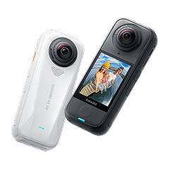
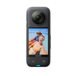
Then came 2023, and with it, Insta360 X3. Suddenly, the whole game changed.
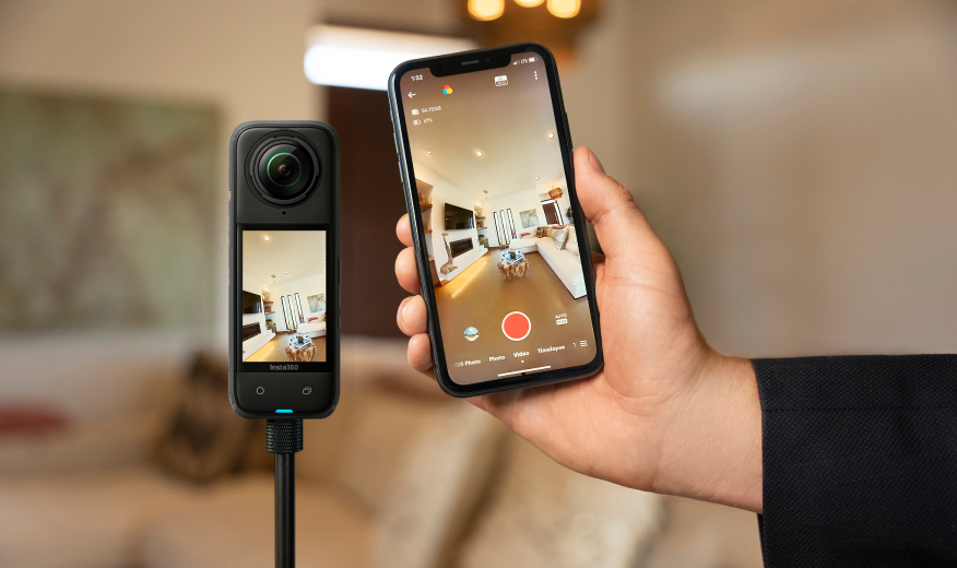
X3 was cheaper, tougher, and much easier to throw into the action without overthinking every risk. Instead of saving it for special occasions, it became the go-to tool for everyday routes. North Georgia’s rural roads, utility corridors, and winding backcountry trails all became fair game.
Insta360 X3 opened up new ground: everyday coverage across North Georgia, from quiet rural roads to winding backcountry trails.
This was the moment documentation stopped being a cautious experiment and started turning into a full-blown operation.
Going Multi-Platform
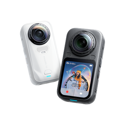
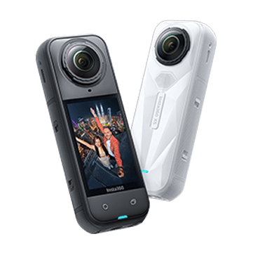
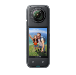
By 2024, the arsenal expanded again with Insta360 X4 and the flagship Insta360 X5.
Street View after dark? Insta360 X4 made it possible, lighting up small-town Georgia one frame at a time.
Each one carved out its own specialty:
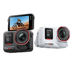
- X4, with better weather resistance and stabilization, became the water warrior.
- Motorcycle rigs opened up remote trails and narrow corridors where cars couldn’t dream of going.
- X5, with stunning low-light capabilities, finally made after-dark documentation possible..
Now, no terrain or time of day was off-limits.
Insta360 X5 stepping into its element: low light, late hours, and capturing mountain towns when the day is long over.
Hurricane Helene: The Ultimate Test
And then came the storm.
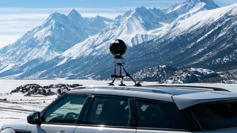
When Hurricane Helene tore through Georgia and the Carolinas, years of trial-and-error suddenly had a purpose far bigger than just adding miles to Street View. Equipped with both X4 and X5, the mission turned into disaster response: capturing damaged roads, bridges, and communities for recovery teams.
The footage wasn’t just impressive—it was useful. First responders used it to find access routes. Utility crews studied it to prioritize repairs. Communities saw their recovery documented in real time.
Hurricane Helene’s aftermath, captured with X4. Proof that this project could deliver when communities needed it most.
In a way, the pontoon boat on the Charles River had led all the way here: proving that this mix of gear and grit could deliver when it mattered most.
Five Years, Millions of Views
What began as a one-off experiment has grown into a five-year journey, producing:
- 638+ miles documented
- 3.4 million+ Street View views
- Coverage by boat, jet ski, motorcycle, and vehicle
- Proven emergency documentation during a natural disaster
Looking Ahead
From Boston’s waterways to Georgia’s mountain passes, this project has shown what happens when you push Street View beyond the usual highways. Gareth's current Insta360 setup is ready for whatever comes next, whether it’s rural mapping on quiet backroads or fast response when disaster strikes.
Not bad for a project that started on a pontoon boat.
This article was submitted to Insta360 Community Stories by Gareth Mannion. Got a story to share? Email yours to communitystories@insta360.com and win up to US$50! Learn more here.
Keen to keep up to date on Insta360 stories? Keep an eye on our blog and sign up for our mailing list. Got a story to share? Email yours to communitystories@insta360.com and win up to US$50.





%20(1).svg)


%20(1).svg)

.svg)